Wayfield Recreation Ground
Introduction
The photograph on this page of Wayfield Recreation Ground by David Anstiss as part of the Geograph project.
The Geograph project started in 2005 with the aim of publishing, organising and preserving representative images for every square kilometre of Great Britain, Ireland and the Isle of Man.

There are currently over 7.5m images from over 14,400 individuals and you can help contribute to the project by visiting https://www.geograph.org.uk
Wayfield Recreation Ground
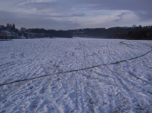
Image: © David Anstiss Taken: 24 Dec 2009
This snow covered large area, is beside Barnfield on the left and the Coney Banks (the trees and sloped ground) on the right.
Images are licensed for reuse under creativecommons.org/licenses/by-sa/2.0
Image Location
Latitude
51.36389
Longitude
0.531638