The Northern Edge of Brigg
Introduction
The photograph on this page of The Northern Edge of Brigg by David Wright as part of the Geograph project.
The Geograph project started in 2005 with the aim of publishing, organising and preserving representative images for every square kilometre of Great Britain, Ireland and the Isle of Man.

There are currently over 7.5m images from over 14,400 individuals and you can help contribute to the project by visiting https://www.geograph.org.uk
The Northern Edge of Brigg
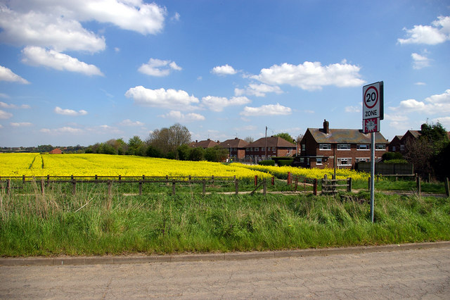
Image: © David Wright Taken: 5 May 2006
This picture was taken from a position close to the bridge carrying the unclassified road to Low Farm over the M180. The houses on the right hand side of the photo are the currently the northerly limit of the built-up area of Brigg. The Motorway is immediately on the left of the field and prevents further urban expansion in that direction.
Images are licensed for reuse under creativecommons.org/licenses/by-sa/2.0
Image Location
Latitude
53.560862
Longitude
-0.488726