Limehouse Farm
Introduction
The photograph on this page of Limehouse Farm by Bill Boaden as part of the Geograph project.
The Geograph project started in 2005 with the aim of publishing, organising and preserving representative images for every square kilometre of Great Britain, Ireland and the Isle of Man.

There are currently over 7.5m images from over 14,400 individuals and you can help contribute to the project by visiting https://www.geograph.org.uk
Limehouse Farm
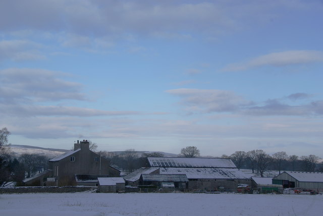
Image: © Bill Boaden Taken: 3 Jan 2010
This stands on the A671 right on the edge of the town, but has extensive views towards Pendle.
Images are licensed for reuse under creativecommons.org/licenses/by-sa/2.0
Image Location
Latitude
53.853057
Longitude
-2.395817