River Adur at Shoreham-by-Sea, West Sussex
Introduction
The photograph on this page of River Adur at Shoreham-by-Sea, West Sussex by Roger D Kidd as part of the Geograph project.
The Geograph project started in 2005 with the aim of publishing, organising and preserving representative images for every square kilometre of Great Britain, Ireland and the Isle of Man.

There are currently over 7.5m images from over 14,400 individuals and you can help contribute to the project by visiting https://www.geograph.org.uk
River Adur at Shoreham-by-Sea, West Sussex
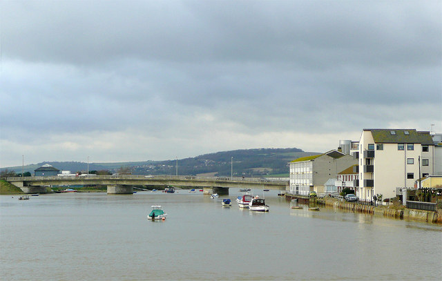
Image: © Roger D Kidd Taken: 31 Dec 2009
Looking west-north-west from the footbridge towards the A259 coast road crossing Norfolk Bridge. Worthing is to the left, with Brighton (and inland Old Shoreham) to the right. The South Downs form the skyline.
Images are licensed for reuse under creativecommons.org/licenses/by-sa/2.0
Image Location
Latitude
50.831357
Longitude
-0.277088