Last section of path
Introduction
The photograph on this page of Last section of path by Bill Nicholls as part of the Geograph project.
The Geograph project started in 2005 with the aim of publishing, organising and preserving representative images for every square kilometre of Great Britain, Ireland and the Isle of Man.

There are currently over 7.5m images from over 14,400 individuals and you can help contribute to the project by visiting https://www.geograph.org.uk
Last section of path
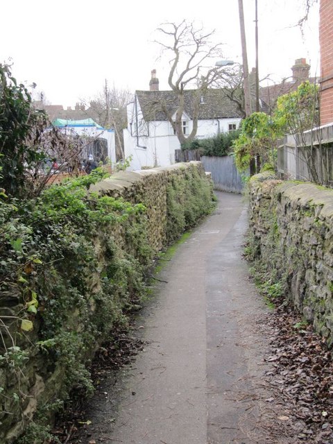
Image: © Bill Nicholls Taken: 13 Dec 2009
The last section of our walk along the Wantage spur which would have ended in a basin to my left.
Images are licensed for reuse under creativecommons.org/licenses/by-sa/2.0
Image Location


Leaflet Map data © OpenStreetMap
Latitude
51.590635
Longitude
-1.429631