Poynings Recreation Ground
Introduction
The photograph on this page of Poynings Recreation Ground by Simon Carey as part of the Geograph project.
The Geograph project started in 2005 with the aim of publishing, organising and preserving representative images for every square kilometre of Great Britain, Ireland and the Isle of Man.

There are currently over 7.5m images from over 14,400 individuals and you can help contribute to the project by visiting https://www.geograph.org.uk
Poynings Recreation Ground
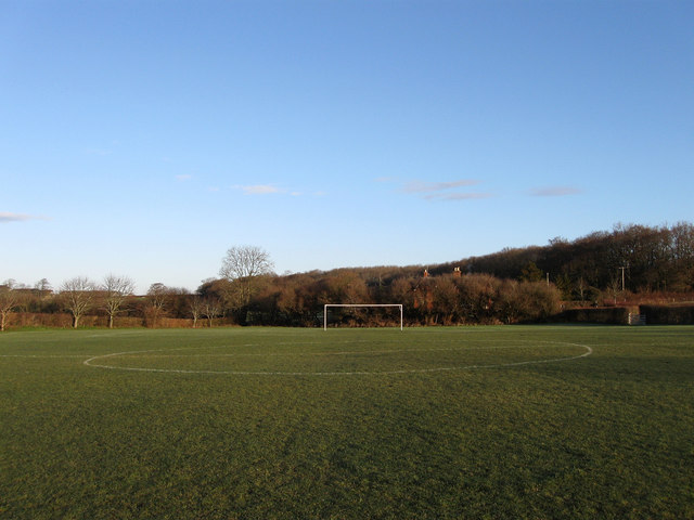
Image: © Simon Carey Taken: 1 Jan 2010
Containing a football pitch with a small playground to the south located in what was once Mill Field according to the 1840 tithe map. A separate cricket field lies over the road.
Images are licensed for reuse under creativecommons.org/licenses/by-sa/2.0
Image Location
Latitude
50.899121
Longitude
-0.208317