Towards Rumburgh Farm
Introduction
The photograph on this page of Towards Rumburgh Farm by Graham Horn as part of the Geograph project.
The Geograph project started in 2005 with the aim of publishing, organising and preserving representative images for every square kilometre of Great Britain, Ireland and the Isle of Man.

There are currently over 7.5m images from over 14,400 individuals and you can help contribute to the project by visiting https://www.geograph.org.uk
Towards Rumburgh Farm
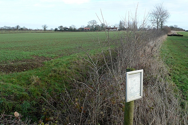
Image: © Graham Horn Taken: 26 Dec 2009
From Rumburgh Lane. The flat, large fields are typical of the area. The notice gives information about a conservation walk. These walks, sponsored by DEFRA, are a way of opening up the countryside and encouraging farmers to leave wide field headlands to encourage wildlife habitats and facilitate access on foot.
Images are licensed for reuse under creativecommons.org/licenses/by-sa/2.0
Image Location
Latitude
52.388552
Longitude
1.472696