Barn Field
Introduction
The photograph on this page of Barn Field by Simon Carey as part of the Geograph project.
The Geograph project started in 2005 with the aim of publishing, organising and preserving representative images for every square kilometre of Great Britain, Ireland and the Isle of Man.

There are currently over 7.5m images from over 14,400 individuals and you can help contribute to the project by visiting https://www.geograph.org.uk
Barn Field
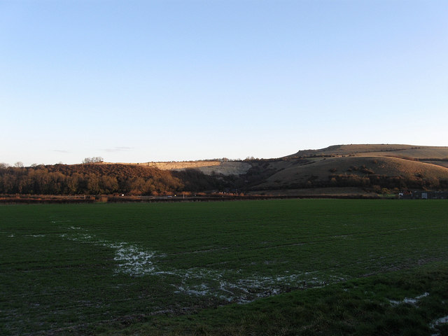
Image: © Simon Carey Taken: 1 Jan 2010
The name of the field according to the 1840 tithe map. Taken from West Road, the A281, with Round Hill and Wolstonbury Hill to the right catching the first sun of the year.
Images are licensed for reuse under creativecommons.org/licenses/by-sa/2.0
Image Location
Latitude
50.903334
Longitude
-0.18995