Private Housing - Merridale Street West
Introduction
The photograph on this page of Private Housing - Merridale Street West by John M as part of the Geograph project.
The Geograph project started in 2005 with the aim of publishing, organising and preserving representative images for every square kilometre of Great Britain, Ireland and the Isle of Man.

There are currently over 7.5m images from over 14,400 individuals and you can help contribute to the project by visiting https://www.geograph.org.uk
Private Housing - Merridale Street West
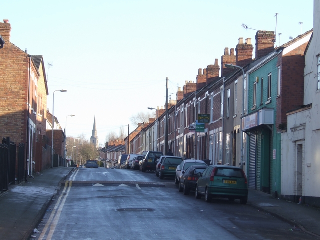
Image: © John M Taken: 3 Jan 2010
Dating from the 1870s and 1880s as the town expanded rapidly. St Johns church marks the edge of the town.
Images are licensed for reuse under creativecommons.org/licenses/by-sa/2.0
Image Location
Latitude
52.579097
Longitude
-2.142807