Bridleway to Hazeldene
Introduction
The photograph on this page of Bridleway to Hazeldene by Rob Farrow as part of the Geograph project.
The Geograph project started in 2005 with the aim of publishing, organising and preserving representative images for every square kilometre of Great Britain, Ireland and the Isle of Man.

There are currently over 7.5m images from over 14,400 individuals and you can help contribute to the project by visiting https://www.geograph.org.uk
Bridleway to Hazeldene
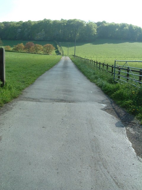
Image: © Rob Farrow Taken: 5 May 2006
This bridleway is tarmacked for this stretch as it is also the track to Hazeldene (or Hazeldean) Farm. The farm is off to the left, so just about at the second telegraph pole, the track veers off left to the farm while the bridleway continues straight on up the hill and into Captain's Wood.
Images are licensed for reuse under creativecommons.org/licenses/by-sa/2.0
Image Location
Latitude
51.722254
Longitude
-0.631876