Farmland at the edge of the Forest of Dean
Introduction
The photograph on this page of Farmland at the edge of the Forest of Dean by Vincent Jones as part of the Geograph project.
The Geograph project started in 2005 with the aim of publishing, organising and preserving representative images for every square kilometre of Great Britain, Ireland and the Isle of Man.

There are currently over 7.5m images from over 14,400 individuals and you can help contribute to the project by visiting https://www.geograph.org.uk
Farmland at the edge of the Forest of Dean
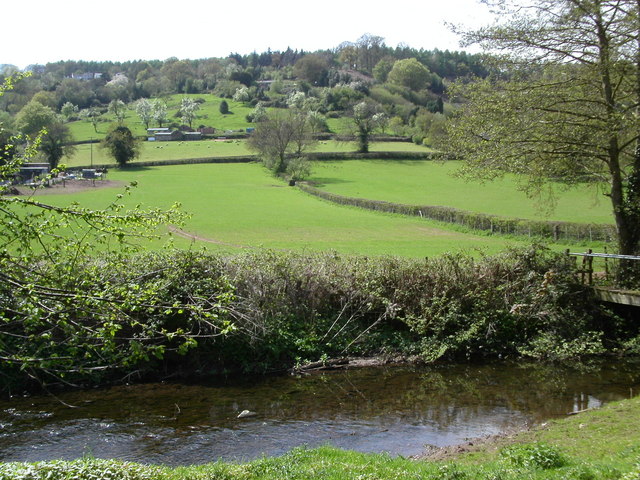
Image: © Vincent Jones Taken: 3 May 2006
Looking across Forge Brook the farmland rises up towards the edge of the Forest of Dean. The road from Blakeney to Upper Soudley runs along the lower tree line.
Images are licensed for reuse under creativecommons.org/licenses/by-sa/2.0
Image Location
Latitude
51.76698
Longitude
-2.483953