Rugby Saint Marie's Church
Introduction
The photograph on this page of Rugby Saint Marie's Church by Ian Rob as part of the Geograph project.
The Geograph project started in 2005 with the aim of publishing, organising and preserving representative images for every square kilometre of Great Britain, Ireland and the Isle of Man.

There are currently over 7.5m images from over 14,400 individuals and you can help contribute to the project by visiting https://www.geograph.org.uk
Rugby Saint Marie's Church
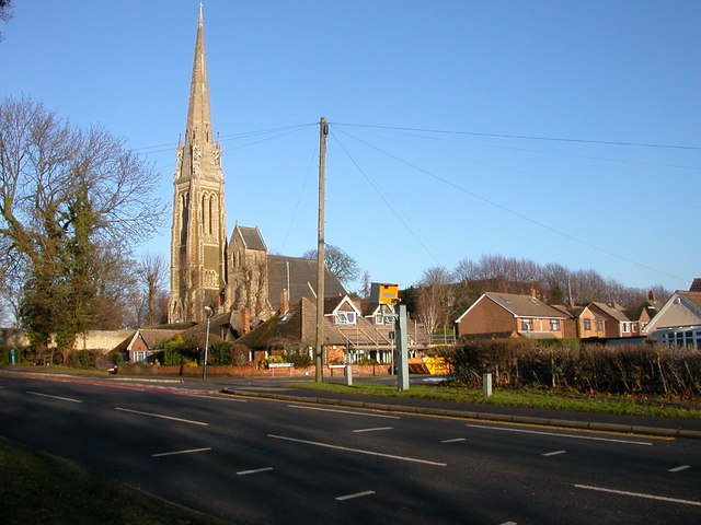
Image: © Ian Rob Taken: 3 Jan 2010
The church is a reminder that maybe someone is watching over us. At the junction of Dunchurch Road and Churchill Road the yellow box means someone is definitely watching us.
Images are licensed for reuse under creativecommons.org/licenses/by-sa/2.0
Image Location
Latitude
52.365361
Longitude
-1.264184