Hedgerow, brook and fields
Introduction
The photograph on this page of Hedgerow, brook and fields by David P Howard as part of the Geograph project.
The Geograph project started in 2005 with the aim of publishing, organising and preserving representative images for every square kilometre of Great Britain, Ireland and the Isle of Man.

There are currently over 7.5m images from over 14,400 individuals and you can help contribute to the project by visiting https://www.geograph.org.uk
Hedgerow, brook and fields
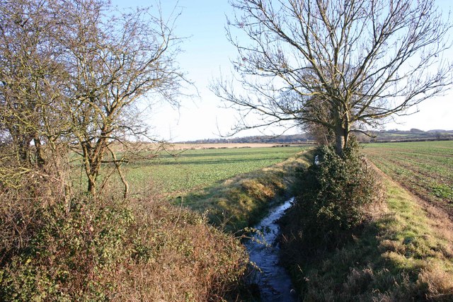
Image: © David P Howard Taken: 3 Jan 2010
View SE from Newbold Road along the brook marking the northern edge of Wellesbourne village.
Images are licensed for reuse under creativecommons.org/licenses/by-sa/2.0
Image Location
Latitude
52.200065
Longitude
-1.585885