Toposcope on High Curley
Introduction
The photograph on this page of Toposcope on High Curley by don cload as part of the Geograph project.
The Geograph project started in 2005 with the aim of publishing, organising and preserving representative images for every square kilometre of Great Britain, Ireland and the Isle of Man.

There are currently over 7.5m images from over 14,400 individuals and you can help contribute to the project by visiting https://www.geograph.org.uk
Toposcope on High Curley
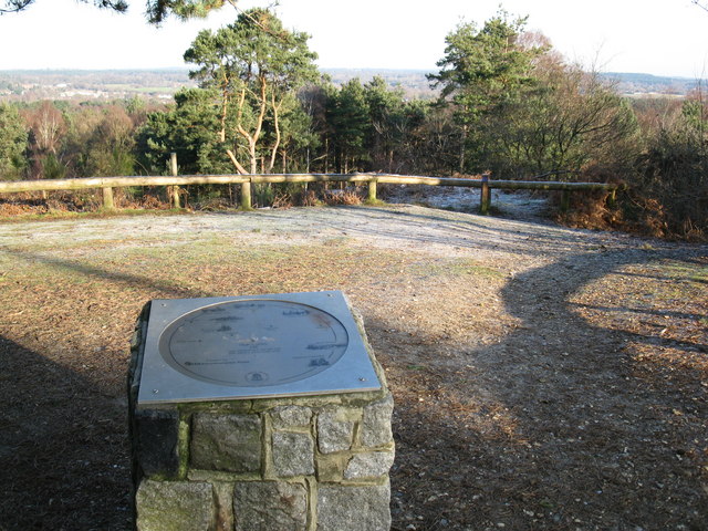
Image: © don cload Taken: 3 Jan 2010
Views over Lightwater Country Park and the surrounding area. Central London can be seen on a fine day.
Images are licensed for reuse under creativecommons.org/licenses/by-sa/2.0
Image Location
Latitude
51.34644
Longitude
-0.691485