Blakedown Station
Introduction
The photograph on this page of Blakedown Station by Michael Westley as part of the Geograph project.
The Geograph project started in 2005 with the aim of publishing, organising and preserving representative images for every square kilometre of Great Britain, Ireland and the Isle of Man.

There are currently over 7.5m images from over 14,400 individuals and you can help contribute to the project by visiting https://www.geograph.org.uk
Blakedown Station
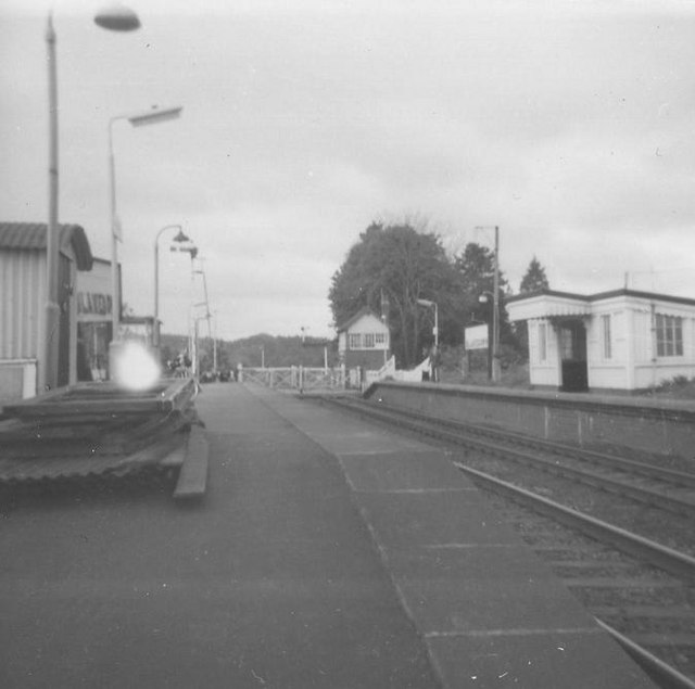
Image: © Michael Westley Taken: Unknown
Level crossing gates and signal box at southern end of short platforms (since been extended - see Image Notice on left-hand platform the original station sign (with 'Churchill' painted out - oh yes !).
Images are licensed for reuse under creativecommons.org/licenses/by-sa/2.0
Image Location


Leaflet Map data © OpenStreetMap
Latitude
52.405994
Longitude
-2.177084