Erewash Canal, Long Eaton
Introduction
The photograph on this page of Erewash Canal, Long Eaton by Stephen McKay as part of the Geograph project.
The Geograph project started in 2005 with the aim of publishing, organising and preserving representative images for every square kilometre of Great Britain, Ireland and the Isle of Man.

There are currently over 7.5m images from over 14,400 individuals and you can help contribute to the project by visiting https://www.geograph.org.uk
Erewash Canal, Long Eaton
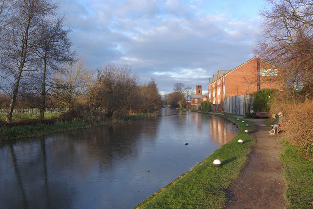
Image: © Stephen McKay Taken: 1 Jan 2010
The canal heads towards Long Eaton Lock, one of 15 between the River Trent at Trentlock and the end of the canal at Langley Mill nearly 12 miles north. The fire station tower can be seen in this view.
Images are licensed for reuse under creativecommons.org/licenses/by-sa/2.0
Image Location


Leaflet Map data © OpenStreetMap
Latitude
52.893863
Longitude
-1.276375