Stapleford Hall, Bruen Stapleford
Introduction
The photograph on this page of Stapleford Hall, Bruen Stapleford by Mike Harris as part of the Geograph project.
The Geograph project started in 2005 with the aim of publishing, organising and preserving representative images for every square kilometre of Great Britain, Ireland and the Isle of Man.

There are currently over 7.5m images from over 14,400 individuals and you can help contribute to the project by visiting https://www.geograph.org.uk
Stapleford Hall, Bruen Stapleford
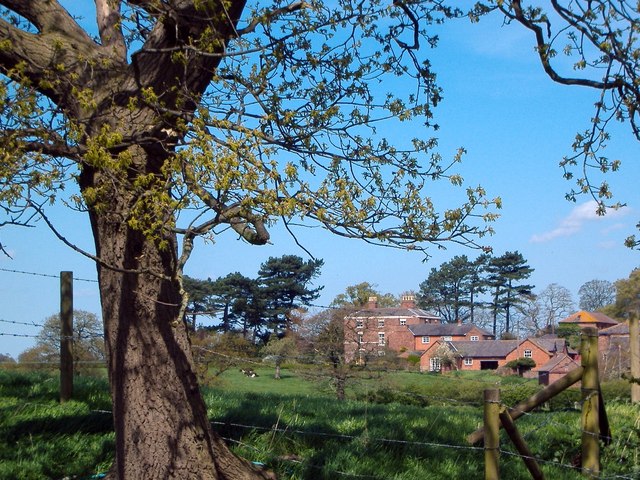
Image: © Mike Harris Taken: 3 May 2006
Stapleford Hall seen looking north (bearing 350°) from 280m away on Bruen Stapleford footpath 3. Seat of the Bruen (earlier Bruyn) family at least since the 14th century, if not earlier. For a fascinating anecdote, giving instruction on how to increase your personal RAM, see http://www.thebookofdays.com/months/may/28.htm.
Images are licensed for reuse under creativecommons.org/licenses/by-sa/2.0
Image Location
Latitude
53.17291
Longitude
-2.763386