Footpath to town
Introduction
The photograph on this page of Footpath to town by Bill Nicholls as part of the Geograph project.
The Geograph project started in 2005 with the aim of publishing, organising and preserving representative images for every square kilometre of Great Britain, Ireland and the Isle of Man.

There are currently over 7.5m images from over 14,400 individuals and you can help contribute to the project by visiting https://www.geograph.org.uk
Footpath to town
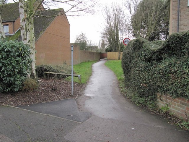
Image: © Bill Nicholls Taken: 13 Dec 2009
The footpath we are following that we think followed the Wantage spur of the Wilts and Berks Canal. It picks up with a footpath marked on the OS map whereas the ones we have been following are not.
Images are licensed for reuse under creativecommons.org/licenses/by-sa/2.0
Image Location
Latitude
51.59359
Longitude
-1.42714