Main Street, Stathern
Introduction
The photograph on this page of Main Street, Stathern by Kate Jewell as part of the Geograph project.
The Geograph project started in 2005 with the aim of publishing, organising and preserving representative images for every square kilometre of Great Britain, Ireland and the Isle of Man.

There are currently over 7.5m images from over 14,400 individuals and you can help contribute to the project by visiting https://www.geograph.org.uk
Main Street, Stathern
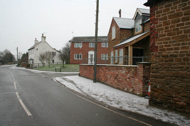
Image: © Kate Jewell Taken: 2 Jan 2010
Taken on a quick milk sortie down the hill from Eaton as the snow set in with great purpose. The village store is the stone building in the right foreground. Next is a new house, then Red Lion Street, (named after the pub). Main Street turns left and Blacksmith End goes straight ahead.
Images are licensed for reuse under creativecommons.org/licenses/by-sa/2.0
Image Location
Latitude
52.871845
Longitude
-0.854358