Upper Brookhouse Farm, Foulk Stapleford
Introduction
The photograph on this page of Upper Brookhouse Farm, Foulk Stapleford by Mike Harris as part of the Geograph project.
The Geograph project started in 2005 with the aim of publishing, organising and preserving representative images for every square kilometre of Great Britain, Ireland and the Isle of Man.

There are currently over 7.5m images from over 14,400 individuals and you can help contribute to the project by visiting https://www.geograph.org.uk
Upper Brookhouse Farm, Foulk Stapleford
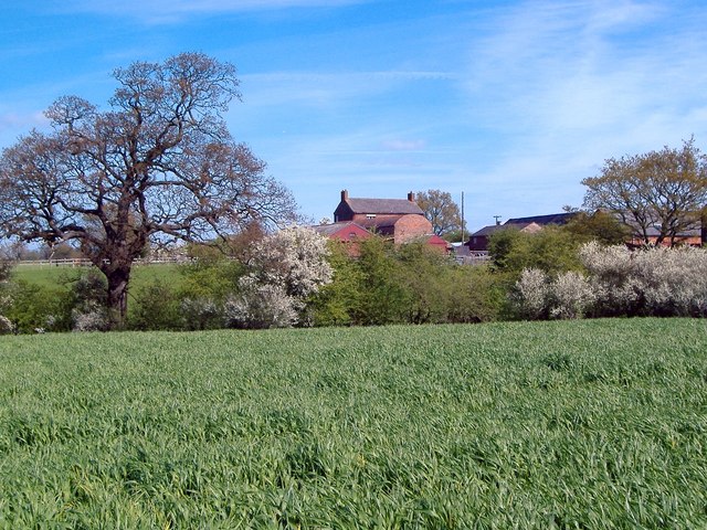
Image: © Mike Harris Taken: 3 May 2006
Upper Brookhouse Farm, seen 120m away at a bearing of 25° from Foulk Stapleford footpath 3. One of the larger mixed farms in the area - much of which used to form the Brereton Park estate. A small stream follows the line of trees in the middle distance. The fact that the footpath ahead is completely invisible is also typical of the area!
Images are licensed for reuse under creativecommons.org/licenses/by-sa/2.0
Image Location
Latitude
53.165043
Longitude
-2.756515