Under the A52
Introduction
The photograph on this page of Under the A52 by Stephen McKay as part of the Geograph project.
The Geograph project started in 2005 with the aim of publishing, organising and preserving representative images for every square kilometre of Great Britain, Ireland and the Isle of Man.

There are currently over 7.5m images from over 14,400 individuals and you can help contribute to the project by visiting https://www.geograph.org.uk
Under the A52
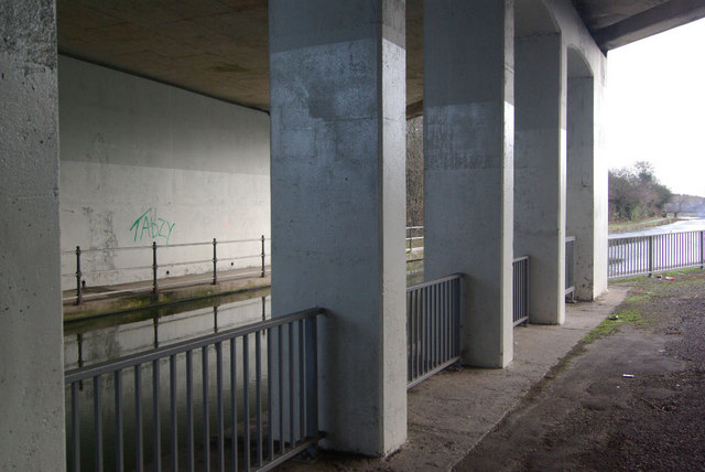
Image: © Stephen McKay Taken: 1 Jan 2010
The Erewash Canal passes under the A52 between Sandiacre Lock and Sandiacre's town centre. The road was built in the 1960s to provide a fast route between Nottingham and Derby relieving the chronic congestion on the old road through Stapleford and Sandiacre.
Images are licensed for reuse under creativecommons.org/licenses/by-sa/2.0
Image Location
Latitude
52.918646
Longitude
-1.286522