Redland Street, Newport
Introduction
The photograph on this page of Redland Street, Newport by Jaggery as part of the Geograph project.
The Geograph project started in 2005 with the aim of publishing, organising and preserving representative images for every square kilometre of Great Britain, Ireland and the Isle of Man.

There are currently over 7.5m images from over 14,400 individuals and you can help contribute to the project by visiting https://www.geograph.org.uk
Redland Street, Newport
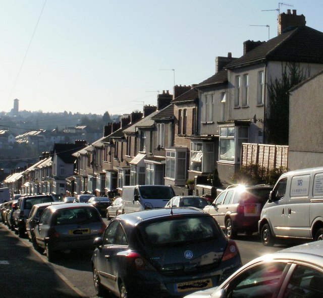
Image: © Jaggery Taken: 1 Jan 2010
Houses on the west side of Redland Street, which descends steeply towards Malpas Road. Redland Street is a continuation of Brynglas Avenue. The continuation is so seamless that 114 Redland Street is next door to 2 Brynglas Avenue in the same block of terraced houses - very confusing for the uninitiated!
Images are licensed for reuse under creativecommons.org/licenses/by-sa/2.0
Image Location
Latitude
51.599185
Longitude
-2.999039