Footpath from Nemphlar
Introduction
The photograph on this page of Footpath from Nemphlar by Callum Black as part of the Geograph project.
The Geograph project started in 2005 with the aim of publishing, organising and preserving representative images for every square kilometre of Great Britain, Ireland and the Isle of Man.

There are currently over 7.5m images from over 14,400 individuals and you can help contribute to the project by visiting https://www.geograph.org.uk
Footpath from Nemphlar
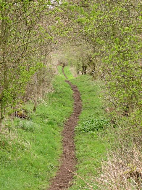
Image: © Callum Black Taken: 1 May 2006
Path linking the hamlet of Nemphlar to the floor of the Mouse valley.
Images are licensed for reuse under creativecommons.org/licenses/by-sa/2.0
Image Location


Leaflet Map data © OpenStreetMap
Latitude
55.677928
Longitude
-3.809668