Houses on Saxtead Road
Introduction
The photograph on this page of Houses on Saxtead Road by Andrew Hill as part of the Geograph project.
The Geograph project started in 2005 with the aim of publishing, organising and preserving representative images for every square kilometre of Great Britain, Ireland and the Isle of Man.

There are currently over 7.5m images from over 14,400 individuals and you can help contribute to the project by visiting https://www.geograph.org.uk
Houses on Saxtead Road
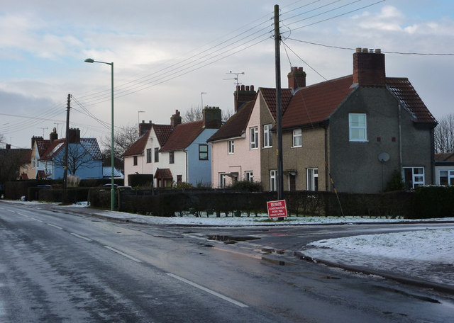
Image: © Andrew Hill Taken: 2 Jan 2010
Looking past the end of King's Avenue to the last houses in Framlingham before the high school at the northwest corner of the town. Saxtead Road is the B1119.
Images are licensed for reuse under creativecommons.org/licenses/by-sa/2.0
Image Location
Latitude
52.227424
Longitude
1.330619