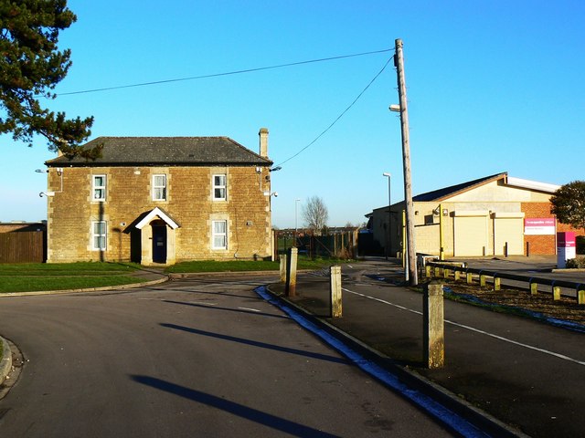
Lower Walcot Farmhouse, Shrewsbury Road, Walcot, Swindon
Introduction
The photograph on this page of Lower Walcot Farmhouse, Shrewsbury Road, Walcot, Swindon by Brian Robert Marshall as part of the Geograph project.
The Geograph project started in 2005 with the aim of publishing, organising and preserving representative images for every square kilometre of Great Britain, Ireland and the Isle of Man.
There are currently over 7.5m images from over 14,400 individuals and you can help contribute to the project by visiting https://www.geograph.org.uk

Image: © Brian Robert Marshall Taken: 2 Jan 2010
Dotted around the predominantly 1950s municipal housing estate are reminders of the agricultural past of this area. When Swindon Borough Council purchased the land included with it was the building on the left named on old maps as Lower Walcot. It was used for quite a long time as a depot for the housing department's maintenance division. It then became a hostel, which it still is I understand. The more modern building at the right is a children's nusrsery. NOTE. This image has a detailed ‘shared description’ which you won’t see by viewing this image on a slideshow. To read it click on the image.
Image Location


