Heald Top Farm. Sharneyford
Introduction
The photograph on this page of Heald Top Farm. Sharneyford by michael ely as part of the Geograph project.
The Geograph project started in 2005 with the aim of publishing, organising and preserving representative images for every square kilometre of Great Britain, Ireland and the Isle of Man.

There are currently over 7.5m images from over 14,400 individuals and you can help contribute to the project by visiting https://www.geograph.org.uk
Heald Top Farm. Sharneyford
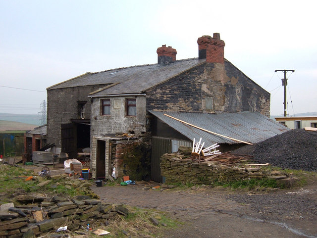
Image: © michael ely Taken: 4 May 2006
Situated on the line of the Rossendale Way. Not sure if this farm is derelict. Definitely not a "Grand Design", more a "Suitable Case for Treatment". Would you want to live here?
Images are licensed for reuse under creativecommons.org/licenses/by-sa/2.0
Image Location


Leaflet Map data © OpenStreetMap
Latitude
53.723081
Longitude
-2.172727