Fire access at Upton Heath Nature Reserve
Introduction
The photograph on this page of Fire access at Upton Heath Nature Reserve by John Lamper as part of the Geograph project.
The Geograph project started in 2005 with the aim of publishing, organising and preserving representative images for every square kilometre of Great Britain, Ireland and the Isle of Man.

There are currently over 7.5m images from over 14,400 individuals and you can help contribute to the project by visiting https://www.geograph.org.uk
Fire access at Upton Heath Nature Reserve
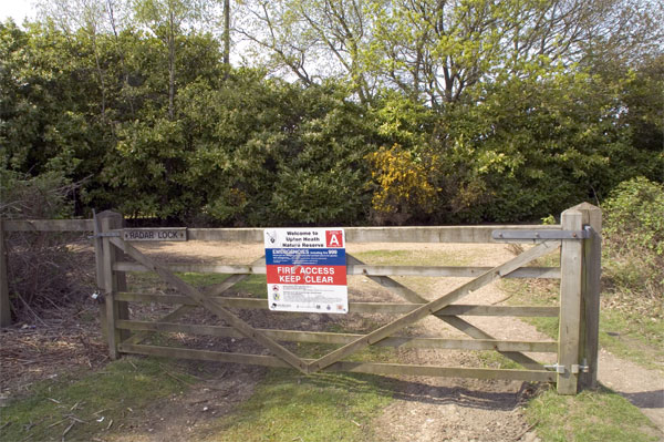
Image: © John Lamper Taken: 4 May 2006
Heathland is at constant threat from fire during dry conditions. Heath fires are unfortunately a regular occurrence and many arise suspiciously during school holidays. The resulting devastation of the habitat of rare species in these areas of Dorset puts their survival at risk.
Images are licensed for reuse under creativecommons.org/licenses/by-sa/2.0
Image Location


Leaflet Map data © OpenStreetMap
Latitude
50.758912
Longitude
-2.022348