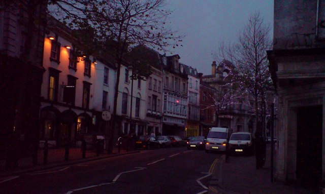
Nightfall in Wind Street
Introduction
The photograph on this page of Nightfall in Wind Street by Deborah Tilley as part of the Geograph project.
The Geograph project started in 2005 with the aim of publishing, organising and preserving representative images for every square kilometre of Great Britain, Ireland and the Isle of Man.
There are currently over 7.5m images from over 14,400 individuals and you can help contribute to the project by visiting https://www.geograph.org.uk

Image: © Deborah Tilley Taken: 6 Dec 2009
Most of the buildings in Wind Street survived the three night blitz in February 1941. The ones that were destroyed had replacements in keeping with the rest. In the summer months the street is closed to traffic and the eateries spill out onto the pavements creating a lovely, continental atmosphere akin to a restaurant quarter. Swansea is finally rising from the remains of its wartime ashes into a cool and cosmopolitan city.

