Wiveliscombe: footpath to Slape Moor
Introduction
The photograph on this page of Wiveliscombe: footpath to Slape Moor by Martin Bodman as part of the Geograph project.
The Geograph project started in 2005 with the aim of publishing, organising and preserving representative images for every square kilometre of Great Britain, Ireland and the Isle of Man.

There are currently over 7.5m images from over 14,400 individuals and you can help contribute to the project by visiting https://www.geograph.org.uk
Wiveliscombe: footpath to Slape Moor
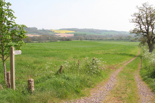
Image: © Martin Bodman Taken: 4 May 2006
The path runs on to Quakinghouse Lane, so named because of the early Quaker burial ground there. Looking south-south-west
Images are licensed for reuse under creativecommons.org/licenses/by-sa/2.0
Image Location


Leaflet Map data © OpenStreetMap
Latitude
51.040065
Longitude
-3.292062