St.Mary's Church, Beddington
Introduction
The photograph on this page of St.Mary's Church, Beddington by Peter Trimming as part of the Geograph project.
The Geograph project started in 2005 with the aim of publishing, organising and preserving representative images for every square kilometre of Great Britain, Ireland and the Isle of Man.

There are currently over 7.5m images from over 14,400 individuals and you can help contribute to the project by visiting https://www.geograph.org.uk
St.Mary's Church, Beddington
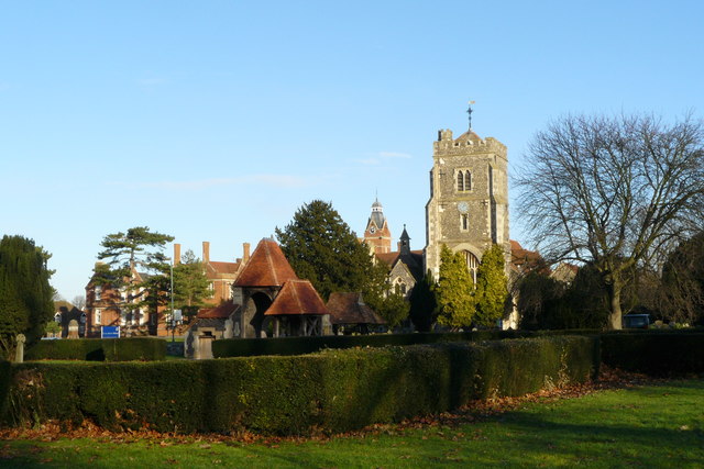
Image: © Peter Trimming Taken: 1 Jan 2010
Looking across the graveyard, which is surrounded by a clipped yew hedge, towards St.Mary's Church. To the left of the church, in the distance, is Carew Manor. http://www.stmarysbeddington.org.uk/History.htm
Images are licensed for reuse under creativecommons.org/licenses/by-sa/2.0
Image Location


Leaflet Map data © OpenStreetMap
Latitude
51.371442
Longitude
-0.139799