Westwood Lane and the A30
Introduction
The photograph on this page of Westwood Lane and the A30 by Derek Harper as part of the Geograph project.
The Geograph project started in 2005 with the aim of publishing, organising and preserving representative images for every square kilometre of Great Britain, Ireland and the Isle of Man.

There are currently over 7.5m images from over 14,400 individuals and you can help contribute to the project by visiting https://www.geograph.org.uk
Westwood Lane and the A30
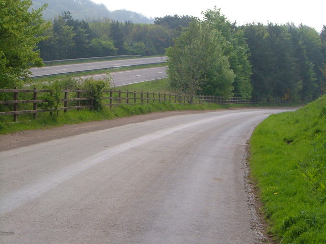
Image: © Derek Harper Taken: 4 May 2006
Diverted because of the A30 and thus made generously large for a no through road to three farms, this farm road runs beside the dual carriageway.
Images are licensed for reuse under creativecommons.org/licenses/by-sa/2.0
Image Location


Leaflet Map data © OpenStreetMap
Latitude
50.712539
Longitude
-3.570711