Lickhill Road
Introduction
The photograph on this page of Lickhill Road by P L Chadwick as part of the Geograph project.
The Geograph project started in 2005 with the aim of publishing, organising and preserving representative images for every square kilometre of Great Britain, Ireland and the Isle of Man.

There are currently over 7.5m images from over 14,400 individuals and you can help contribute to the project by visiting https://www.geograph.org.uk
Lickhill Road
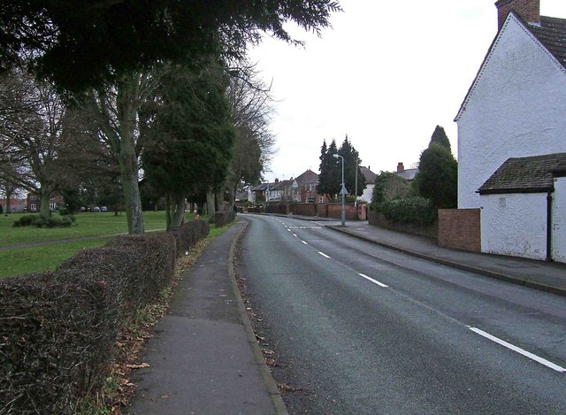
Image: © P L Chadwick Taken: 31 Dec 2009
On the left is Stourport War Memorial Park, which is a public park. In the far distance, just past the lamppost on the right, is a wall-mounted George V postbox. It can be seen in more detail here:- Image Since these photographs were taken the postbox has been taken out of service and painted black.
Images are licensed for reuse under creativecommons.org/licenses/by-sa/2.0
Image Location
Latitude
52.343027
Longitude
-2.286922