Stourport War Memorial Park looking towards Lickhill Estate
Introduction
The photograph on this page of Stourport War Memorial Park looking towards Lickhill Estate by P L Chadwick as part of the Geograph project.
The Geograph project started in 2005 with the aim of publishing, organising and preserving representative images for every square kilometre of Great Britain, Ireland and the Isle of Man.

There are currently over 7.5m images from over 14,400 individuals and you can help contribute to the project by visiting https://www.geograph.org.uk
Stourport War Memorial Park looking towards Lickhill Estate
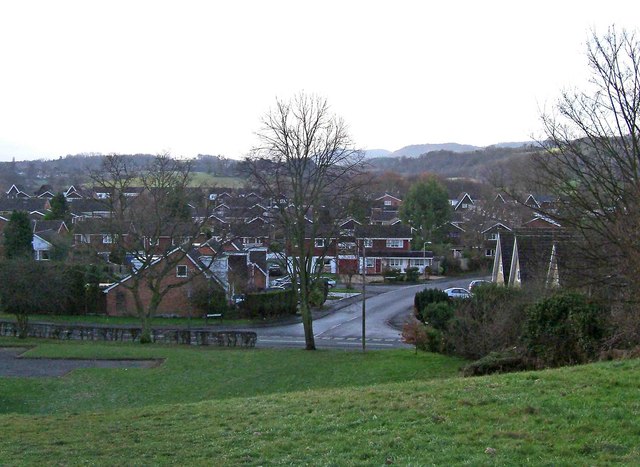
Image: © P L Chadwick Taken: 31 Dec 2009
The northern part of this park is on a small hill, which gives some good views. This photograph shows part of the gardens, and beyond Lower Lickhill Road, Ribbesford Drive and part of the Lickhill Estate.
Images are licensed for reuse under creativecommons.org/licenses/by-sa/2.0
Image Location
Latitude
52.34545
Longitude
-2.288992