The western end of The Rock
Introduction
The photograph on this page of The western end of The Rock by Bill Boaden as part of the Geograph project.
The Geograph project started in 2005 with the aim of publishing, organising and preserving representative images for every square kilometre of Great Britain, Ireland and the Isle of Man.

There are currently over 7.5m images from over 14,400 individuals and you can help contribute to the project by visiting https://www.geograph.org.uk
The western end of The Rock
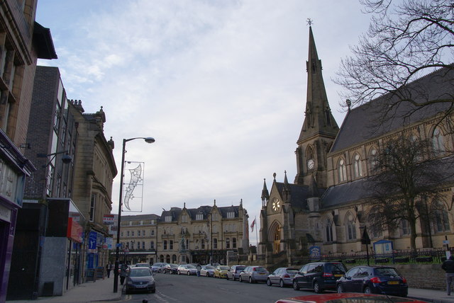
Image: © Bill Boaden Taken: 31 Dec 2009
The Rock is still Bury's main street. This end has fewer shops and more financial organisations and pubs.
Images are licensed for reuse under creativecommons.org/licenses/by-sa/2.0
Image Location
Latitude
53.593948
Longitude
-2.295939