Footpath uphill
Introduction
The photograph on this page of Footpath uphill by Bill Nicholls as part of the Geograph project.
The Geograph project started in 2005 with the aim of publishing, organising and preserving representative images for every square kilometre of Great Britain, Ireland and the Isle of Man.

There are currently over 7.5m images from over 14,400 individuals and you can help contribute to the project by visiting https://www.geograph.org.uk
Footpath uphill
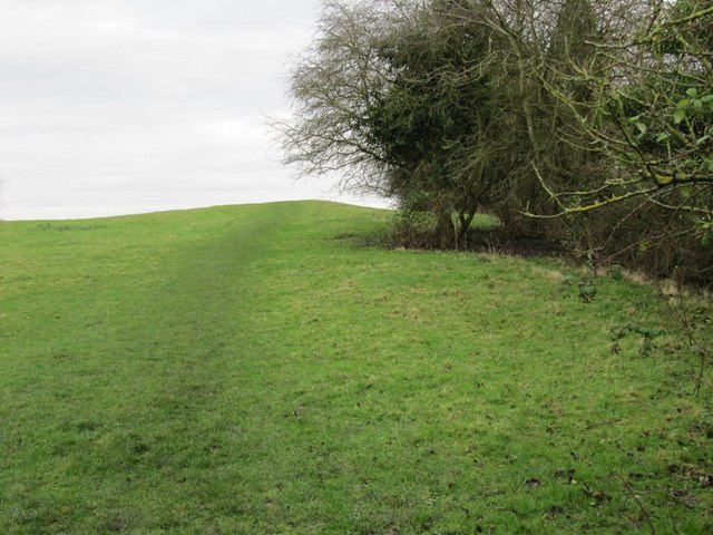
Image: © Bill Nicholls Taken: 13 Dec 2009
It's not possible to follow the towpath as it's fenced off and quite dangerous by the canal so it goes this way uphill near Grove airfield.
Images are licensed for reuse under creativecommons.org/licenses/by-sa/2.0
Image Location
Latitude
51.597235
Longitude
-1.437055