Getting to the end
Introduction
The photograph on this page of Getting to the end by Bill Nicholls as part of the Geograph project.
The Geograph project started in 2005 with the aim of publishing, organising and preserving representative images for every square kilometre of Great Britain, Ireland and the Isle of Man.

There are currently over 7.5m images from over 14,400 individuals and you can help contribute to the project by visiting https://www.geograph.org.uk
Getting to the end
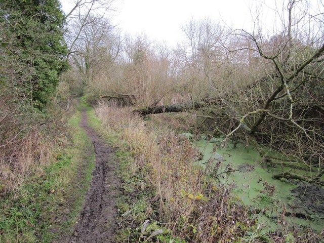
Image: © Bill Nicholls Taken: 13 Dec 2009
Getting near another track here at Grove and the canal is starting to get filled in with fallen trees and debris
Images are licensed for reuse under creativecommons.org/licenses/by-sa/2.0
Image Location
Latitude
51.595628
Longitude
-1.439529