Brookfield Farm
Introduction
The photograph on this page of Brookfield Farm by Terry Sheppard as part of the Geograph project.
The Geograph project started in 2005 with the aim of publishing, organising and preserving representative images for every square kilometre of Great Britain, Ireland and the Isle of Man.

There are currently over 7.5m images from over 14,400 individuals and you can help contribute to the project by visiting https://www.geograph.org.uk
Brookfield Farm
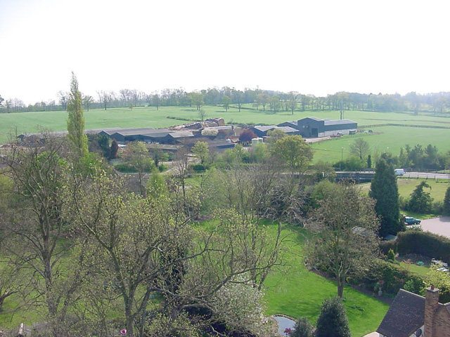
Image: © Terry Sheppard Taken: 30 Apr 2007
Photographed from the top of Rothley Church Tower. The old carriageway from the Turnpike to the Temple can just be seen at the top marked by an avenue of trees
Images are licensed for reuse under creativecommons.org/licenses/by-sa/2.0
Image Location
Latitude
52.704053
Longitude
-1.136256