The Crossroads Inn
Introduction
The photograph on this page of The Crossroads Inn by Barry Hurst as part of the Geograph project.
The Geograph project started in 2005 with the aim of publishing, organising and preserving representative images for every square kilometre of Great Britain, Ireland and the Isle of Man.

There are currently over 7.5m images from over 14,400 individuals and you can help contribute to the project by visiting https://www.geograph.org.uk
The Crossroads Inn
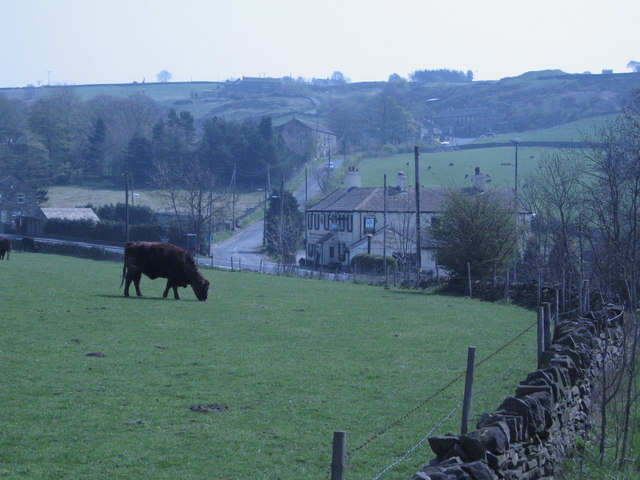
Image: © Barry Hurst Taken: 4 May 2006
View from Horn Lane looking across the main A635 and up Gate Foot Lane to the tiny and attractive hamlet of Gate Foot Image, nestling just about 1,000 feet up in the Pennines. The Crossroads Inn was once known as The Toss o'Coin because its ownership was decided by flipping a coin!
Images are licensed for reuse under creativecommons.org/licenses/by-sa/2.0
Image Location
Latitude
53.572801
Longitude
-1.731164