Primrose Local Nature Reserve
Introduction
The photograph on this page of Primrose Local Nature Reserve by Ken Brown as part of the Geograph project.
The Geograph project started in 2005 with the aim of publishing, organising and preserving representative images for every square kilometre of Great Britain, Ireland and the Isle of Man.

There are currently over 7.5m images from over 14,400 individuals and you can help contribute to the project by visiting https://www.geograph.org.uk
Primrose Local Nature Reserve
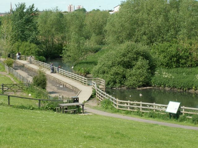
Image: © Ken Brown Taken: 6 Jun 2005
The Nature Reserve was created in 1990 by excavating a series of ponds and ditches where there had previously been amenity grassland. prone to occasional flooding. Planting them up resulted in a mosaic of marsh and open water habitats, which offers shelter and sustenance to a wide range of wetland wildlife.
Images are licensed for reuse under creativecommons.org/licenses/by-sa/2.0
Image Location
Latitude
54.96735
Longitude
-1.479524