Castle Gate
Introduction
The photograph on this page of Castle Gate by Alan Murray-Rust as part of the Geograph project.
The Geograph project started in 2005 with the aim of publishing, organising and preserving representative images for every square kilometre of Great Britain, Ireland and the Isle of Man.

There are currently over 7.5m images from over 14,400 individuals and you can help contribute to the project by visiting https://www.geograph.org.uk
Castle Gate
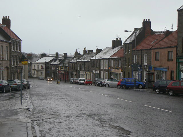
Image: © Alan Murray-Rust Taken: 27 Dec 2009
This street lies within the medieval walls, but outside the Elizabethan ramparts. By the time these houses were developed, the threat of warfare had receded. As well as being the link between town and castle, it also carried the Great North Road.
Images are licensed for reuse under creativecommons.org/licenses/by-sa/2.0
Image Location
Latitude
55.772494
Longitude
-2.008582