Four Acres
Introduction
The photograph on this page of Four Acres by Simon Carey as part of the Geograph project.
The Geograph project started in 2005 with the aim of publishing, organising and preserving representative images for every square kilometre of Great Britain, Ireland and the Isle of Man.

There are currently over 7.5m images from over 14,400 individuals and you can help contribute to the project by visiting https://www.geograph.org.uk
Four Acres
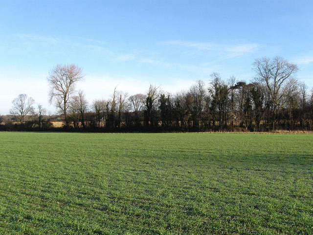
Image: © Simon Carey Taken: 28 Dec 2009
The name of this section of the field according to the 1840 tithe map that has since been expanded to include Little Hovel Field to the north and Glebe Field, Piney Mead and Piney Orchard to the west.
Images are licensed for reuse under creativecommons.org/licenses/by-sa/2.0
Image Location
Latitude
50.911244
Longitude
-0.195476