Podkin Meadow
Introduction
The photograph on this page of Podkin Meadow by David Anstiss as part of the Geograph project.
The Geograph project started in 2005 with the aim of publishing, organising and preserving representative images for every square kilometre of Great Britain, Ireland and the Isle of Man.

There are currently over 7.5m images from over 14,400 individuals and you can help contribute to the project by visiting https://www.geograph.org.uk
Podkin Meadow
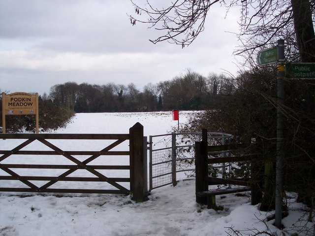
Image: © David Anstiss Taken: 24 Dec 2009
Near Mill Lane. Kissing Gate entry on the right, on a footpath to Robin Hill Lane. Also another path heads right past a farm towards Podkin and Frith Woods.
Images are licensed for reuse under creativecommons.org/licenses/by-sa/2.0
Image Location
Latitude
51.330658
Longitude
0.508703