Stourport Service Station, Vale Road
Introduction
The photograph on this page of Stourport Service Station, Vale Road by P L Chadwick as part of the Geograph project.
The Geograph project started in 2005 with the aim of publishing, organising and preserving representative images for every square kilometre of Great Britain, Ireland and the Isle of Man.

There are currently over 7.5m images from over 14,400 individuals and you can help contribute to the project by visiting https://www.geograph.org.uk
Stourport Service Station, Vale Road
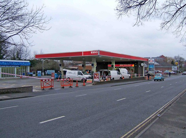
Image: © P L Chadwick Taken: 29 Dec 2009
Vale Road is part of the town's one-way system and with three lanes, it is a bit of a race track. There used to be three filling stations in the road, but this is the last survivor. It is now one of the town's two remaining filling stations. When photographed it was temporarily closed.
Images are licensed for reuse under creativecommons.org/licenses/by-sa/2.0
Image Location
Latitude
52.341253
Longitude
-2.276929