East of Lydeard St Lawrence
Introduction
The photograph on this page of East of Lydeard St Lawrence by Derek Harper as part of the Geograph project.
The Geograph project started in 2005 with the aim of publishing, organising and preserving representative images for every square kilometre of Great Britain, Ireland and the Isle of Man.

There are currently over 7.5m images from over 14,400 individuals and you can help contribute to the project by visiting https://www.geograph.org.uk
East of Lydeard St Lawrence
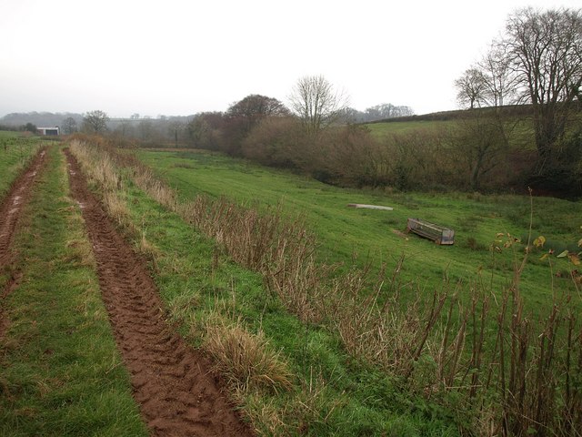
Image: © Derek Harper Taken: 14 Dec 2009
Footpath T16/10 follows the track along the north side of this valley east of the village, heading towards Coursley Farm.
Images are licensed for reuse under creativecommons.org/licenses/by-sa/2.0
Image Location
Latitude
51.085673
Longitude
-3.240791