Farms in Lydeard St Lawrence (2)
Introduction
The photograph on this page of Farms in Lydeard St Lawrence (2) by Derek Harper as part of the Geograph project.
The Geograph project started in 2005 with the aim of publishing, organising and preserving representative images for every square kilometre of Great Britain, Ireland and the Isle of Man.

There are currently over 7.5m images from over 14,400 individuals and you can help contribute to the project by visiting https://www.geograph.org.uk
Farms in Lydeard St Lawrence (2)
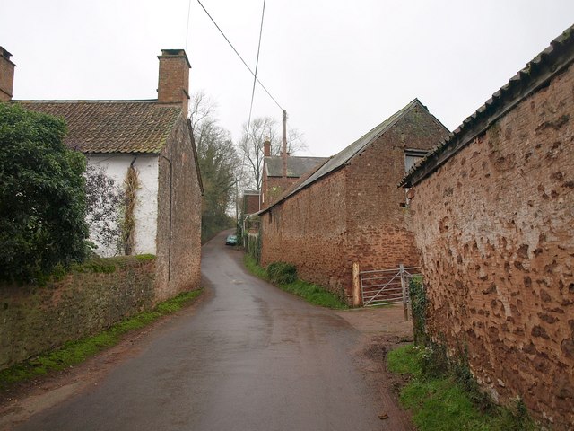
Image: © Derek Harper Taken: 14 Dec 2009
Further along the lane shown in Image the C16 Reed's Court Farm is on the left http://webapp1.somerset.gov.uk/her/details.asp?prn=40417 ; Knight's Farm is on the right. Footpath T16/10 starts between the barns, though I could see no waymarking (nor indeed anywhere along it).
Images are licensed for reuse under creativecommons.org/licenses/by-sa/2.0
Image Location
Latitude
51.085994
Longitude
-3.244512