Site of Granville Street Station
Introduction
The photograph on this page of Site of Granville Street Station by Michael Westley as part of the Geograph project.
The Geograph project started in 2005 with the aim of publishing, organising and preserving representative images for every square kilometre of Great Britain, Ireland and the Isle of Man.

There are currently over 7.5m images from over 14,400 individuals and you can help contribute to the project by visiting https://www.geograph.org.uk
Site of Granville Street Station
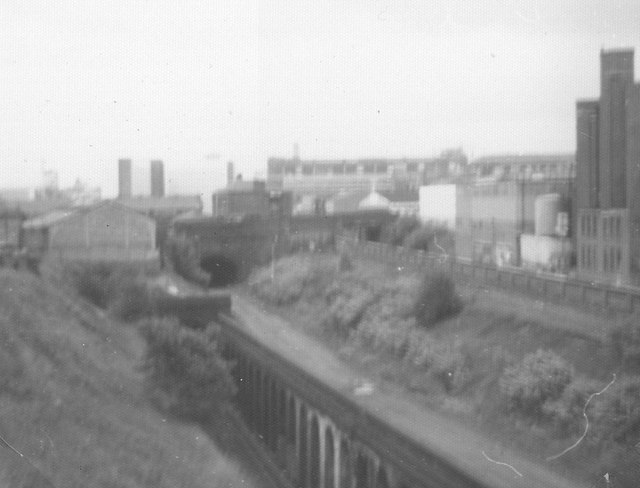
Image: © Michael Westley Taken: Unknown
Viewed from across wall on Communication Row, from bottom to top, left to right: Archways (current cross-city route, north of Five Ways station) Above archways, trackbed at location of Granville Street Station Left-hand tunnel is road bridge (Granville Street), tunnel leading to Central Goods. To right of trackbed, up embankment is a boarded up tunnel entrance (the original line stopped here, being prevented from going beyond the canal) Beyond brick wall, Worcester & Birmingham canal Beyond canal to right of photo, would be rear of Birmingham Accident Hospital (now moved) http://www.railaroundbirmingham.co.uk/Stations/granville_street.php See also Image] and Image]
Images are licensed for reuse under creativecommons.org/licenses/by-sa/2.0
Image Location
Latitude
52.474327
Longitude
-1.909415