Muddles
Introduction
The photograph on this page of Muddles by Simon Carey as part of the Geograph project.
The Geograph project started in 2005 with the aim of publishing, organising and preserving representative images for every square kilometre of Great Britain, Ireland and the Isle of Man.

There are currently over 7.5m images from over 14,400 individuals and you can help contribute to the project by visiting https://www.geograph.org.uk
Muddles
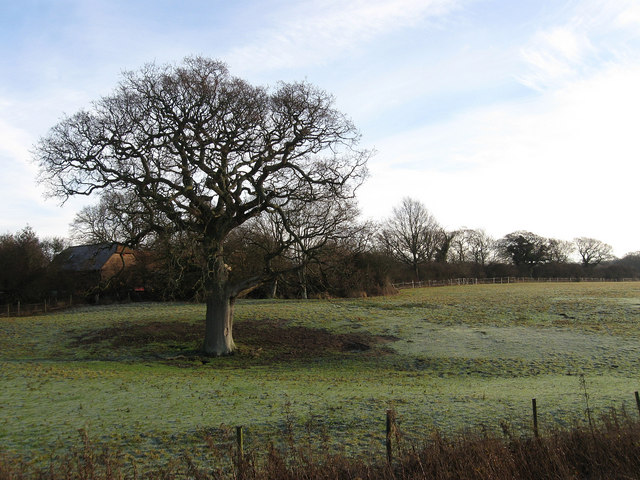
Image: © Simon Carey Taken: 28 Dec 2009
The name of the field according to the 1840 tithe map, this is the northern edge of the field near the parish boundary with Hurstpierpoint, which runs along the fence to the left, that stretches southwards to the B2117.
Images are licensed for reuse under creativecommons.org/licenses/by-sa/2.0
Image Location
Latitude
50.922588
Longitude
-0.196317