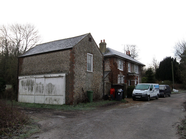
Star House
Introduction
The photograph on this page of Star House by Simon Carey as part of the Geograph project.
The Geograph project started in 2005 with the aim of publishing, organising and preserving representative images for every square kilometre of Great Britain, Ireland and the Isle of Man.
There are currently over 7.5m images from over 14,400 individuals and you can help contribute to the project by visiting https://www.geograph.org.uk

Image: © Simon Carey Taken: 28 Dec 2009
Marked on a 1975 OS map as Devonshire Villa and fronted onto the A23 until the early 1990s when this part was straightened. Be interested to know what the barn was once used for, the boarding at the front seeming to suggest some previous use. The bridleway to Wolston bury Hill and Pyecombe runs along the course of the old A23 and turns up the drive to the left which also leads to Star Cottage.

