B3174, the Exeter Road out of Ottery.
Introduction
The photograph on this page of B3174, the Exeter Road out of Ottery. by Derek Harper as part of the Geograph project.
The Geograph project started in 2005 with the aim of publishing, organising and preserving representative images for every square kilometre of Great Britain, Ireland and the Isle of Man.

There are currently over 7.5m images from over 14,400 individuals and you can help contribute to the project by visiting https://www.geograph.org.uk
B3174, the Exeter Road out of Ottery.
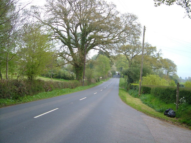
Image: © Derek Harper Taken: 3 May 2006
The road to Ottery runs straight for almost two kilometres as it makes the descent from Daisymount (actually here near Pitfield Farm it climbs a little).
Images are licensed for reuse under creativecommons.org/licenses/by-sa/2.0
Image Location


Leaflet Map data © OpenStreetMap
Latitude
50.750661
Longitude
-3.325328