Bagber Farm
Introduction
The photograph on this page of Bagber Farm by John Lamper as part of the Geograph project.
The Geograph project started in 2005 with the aim of publishing, organising and preserving representative images for every square kilometre of Great Britain, Ireland and the Isle of Man.

There are currently over 7.5m images from over 14,400 individuals and you can help contribute to the project by visiting https://www.geograph.org.uk
Bagber Farm
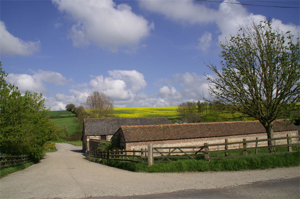
Image: © John Lamper Taken: 3 May 2006
The field of oilseed rape has almost completely come into full flower during the first week in May.
Images are licensed for reuse under creativecommons.org/licenses/by-sa/2.0
Image Location
Latitude
50.792167
Longitude
-2.2751